Cashmere Mountain
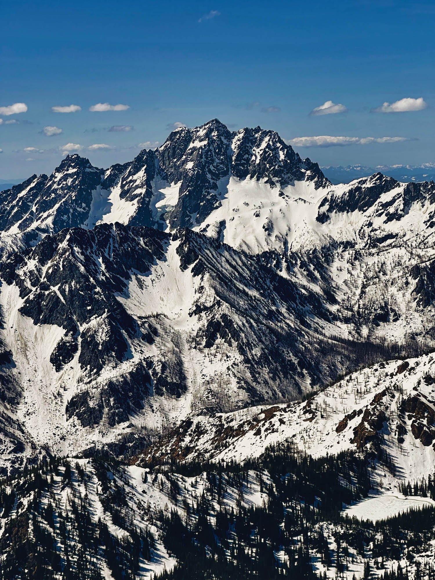
May 12th, 2023. Cashmere Mountain's summit is 8501 feet elevation located near Leavenworth, WA. It is the 58th peak on Washington state's tallest 100 "Bulger list". This summit makes for 35/100 completed for me. Being spring there is still enough snow coverage for the Victoria's Secret route on the north side.
On this climb I experimented with shooting video in vertical orientation first-person-view.
Trip Report:
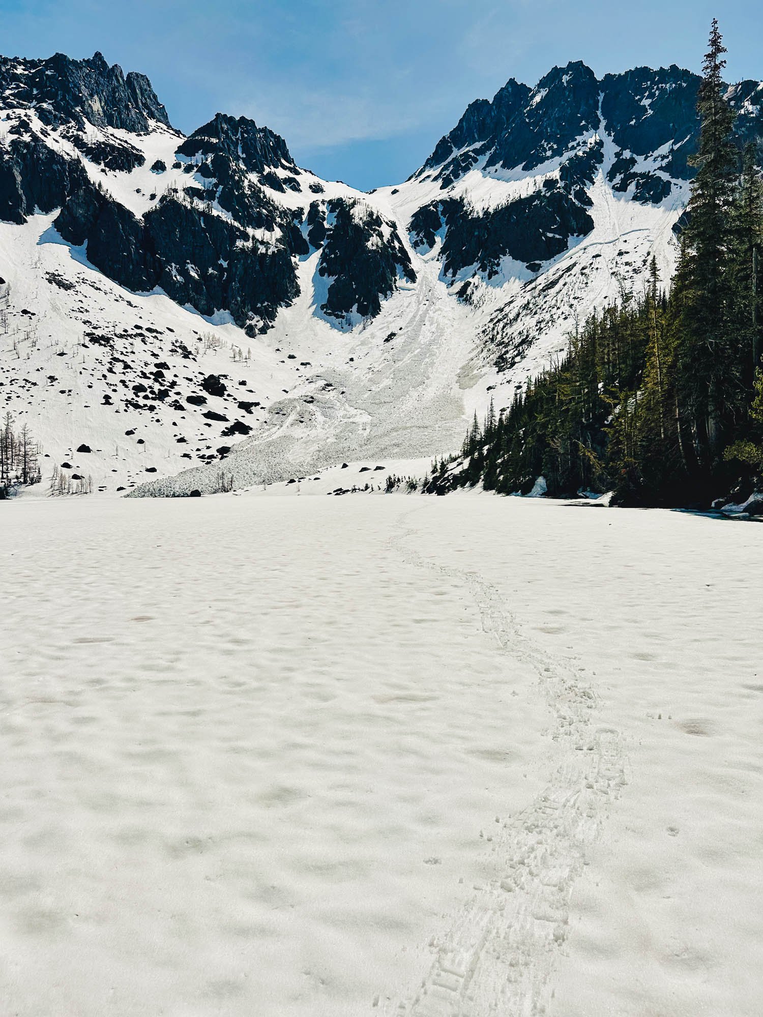
Started at 2500’ just off of Icicle Road. There is a Victoria Lake Trail sign at 2560’ after about a 0.9 mile road walk. This trail is not maintained. At 3060’ elevation it got bushwacky pretty much until 5250’. My experience was that trying to follow the trail line on Openstreet layer was better than trying to follow other tracks I had downloaded from PB for this section. It makes sense that there are discrepancies between people’s tracks as the original trail is hard to follow. First snow patches were at 4100’. Snow below the lake was punchy in morning and mashed potatoes in the afternoon. I put snowshoes on at 5250’, it was still before sunrise and the snow had been hard enough to mostly support my weight up to that point. The ice/snow cover over the lake is melting out all around the sides. After wasting time trying to scramble along the westside of the lake I finally gave in and found a way onto the ice and walked it. The avalanche debris pile above Lake Victoria was quite notable. The snow climb above that felt steep at times but conditions were good. Snow was consolidated enough, some extended 45+ degree slopes you wouldn’t want to slip on.
Counted 10 ticks on me/gear after the bushwack down.
Gear used:
Goretex soft boots, trekking poles, snowshoes, headlamp
Mountaineering boots, Crampons, 2 ice axes, helmet
Video/photo:
iphone 14pro, DJI Osmo Action 3